The question
Air-quality monitoring depends on where measurements are taken. Satellite observations can help identify areas that deserve closer attention on the ground.
My contribution
I co-founded an air-quality technology project and developed a geospatial modeling platform to improve sensor placement, combining technical development with go-to-market work for smart-city applications.
The work
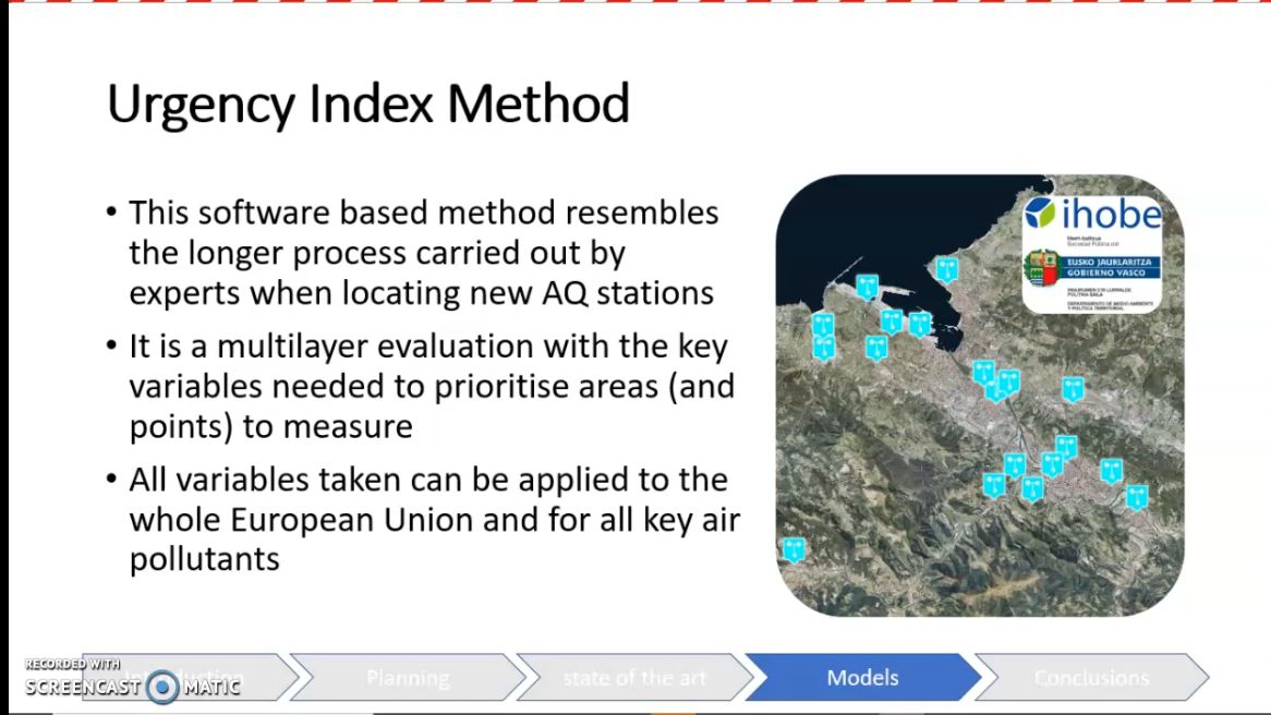
We explored using satellite data to identify polluted areas and inform the placement of ground sensors. The work brought together environmental questions and applied AI.
Explore further
Selected projects & related coverage
- GIS-based air-quality sensor placement YouTube · Diego Castresana